ADVANTAGES INDUSTRIAL PARK
GEOGRAPHICAL LOCATION
Vinh Loc 2 Industrial Park (phase 1) is located in Long Hiep commune - Ben Luc district, Long An province.
- The North borders the existing residential area.
- The South borders on National Highway 1A and Long Hiep II industrial park.
- The East borders the resettlement area and workers' housing in Vinh Loc industrial park.
- The West borders Ben Luc town.

CLIMATE CHARACTERISTICS
- Temperature: Average 27.2°C. Average highest in the year 29°C. Lowest average in the year 25°C.
- Humidity:Average dry season: 77%, rainy season: 83%, highest in September: 84%.
- Wind: The two main wind directions are southeast wind and southwest wind. The Southeast wind blows regularly from January to April. The southwest wind blows from June to October. In the months of the season, there are East, West and South winds.
- Rain: LThe average rainfall in the year is 1,652 mm/year, the highest number of rainy days in the month is 19 days (August, September, and October), the highest rainfall in a day is 150 mm, the highest amount of rain in the month is 539 mm (October).
- Thunderstorms: Thunderstorms appear from May to November, about 110 to 115 days a year; in May alone can reach 20 - 22 days/month. Thunderstorms usually occur at noon and in the afternoon.
TOPOGRAPHIC
The area's topography is relatively flat, descending from south to north, the average elevation is 1.1 ÷ 0.8 (because most of it is rice land).

HYDRAULIC WATER SOURCE
- Surface water: The area is directly affected by Ben Luc River and Vam Co Dong River. Vam Co Dong River originates from Cambodia and flows into the East Sea through the district's subdivision about 10km, in the dry season the water volume is negligible, the average flow is 11m/h, the downstream area is influenced by tides.
Ben Luc River connects Vam Co Dong River and Saigon River through Double Canal 20-25m wide, 5m deep, influenced by hydrological regime of Vam Co Dong river.
The district is influenced by the semi-diurnal tide regime of the East Sea through Vam Co Dong river, the difference between high and low tide is not large. The ability to take advantage of tides for self-flow is very limited. In Ben Luc, from February to May, the salinity of Vam Co Dong river is more than 4g/liter.
- Groundwater: According to hydrogeological survey documents, in the district, there is groundwater at a depth of 280: 360m, exploitation flow 35: 70m3/h, pH = 6.1: 7.1 degrees lowering the water level by 20 : 25m.
For wells at a depth of 180 : 240 m Q = 5 : 20 m/h according to the document on zoning the level of ground water coverage of the Geological Federation 8, in the district groundwater can be exploited with a capacity 50-100m deep well > 300m.
GEOGRAPHY OF CONSTRUCTIONS
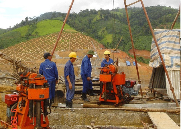
According to the geological survey results, the area above has soft ground with soft clay layer and clay mud layer on the surface, the thickness varies from 4.2m to 8.10m (average 6m). The underlying soil layers are of solid to very solid clay that can be used to support the structure. For above-average works, it is recommended to transmit to the 3rd soil layer by reinforced concrete pile system.